CLIMATE MAPS: Visualising Local Climate Futures
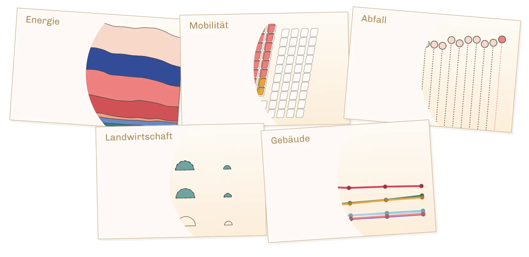
Cooperation with the daily newspapers taz and UCLAB with the aim of conveying climate information via various channels using data visualisations. For this purpose, both physical and digital postcards with visualisations on different aspects of climate protection in Germany were designed and produced.

taz, the daily newspaper
How well is Germany doing in containing the climate crisis? Where has most progress been made? Which sectors still need to do more? To answer these questions, climate protection postcards can be explored for all 401 German districts and all 16 federal states in the five areas of energy, mobility, buildings, agriculture and waste. The digital maps are interactively available on websites and social media. The physical maps are displayed in public places such as cafés in Potsdam and Berlin and on the campus of the University of Applied Sciences.
The aim of our research is to investigate readers' engagement with data visualisations on the topic of climate protection – across different media channels. A central claim is that the communication of climate change does not trigger fear, numbness or even a state of shock in the readers, but rather arouses interest and they engage with climate change and its effects on the spot.
The research is embedded in the BMBF project "VIDAN: Visuelle und dynamische Arrangements von Nachrichten", which investigates the potential of interactive data visualisations to communicate complex issues.
Project support & team
Support
Team UCLAB
- Johanna Hartmann
- Anna Eschenbacher
- Francesca Morini
- Marian Dörk
Team taz
- Luise Strothmann
- Lalon Sander
- Jean-Philipp Baeck
- Jelene Malkowski
